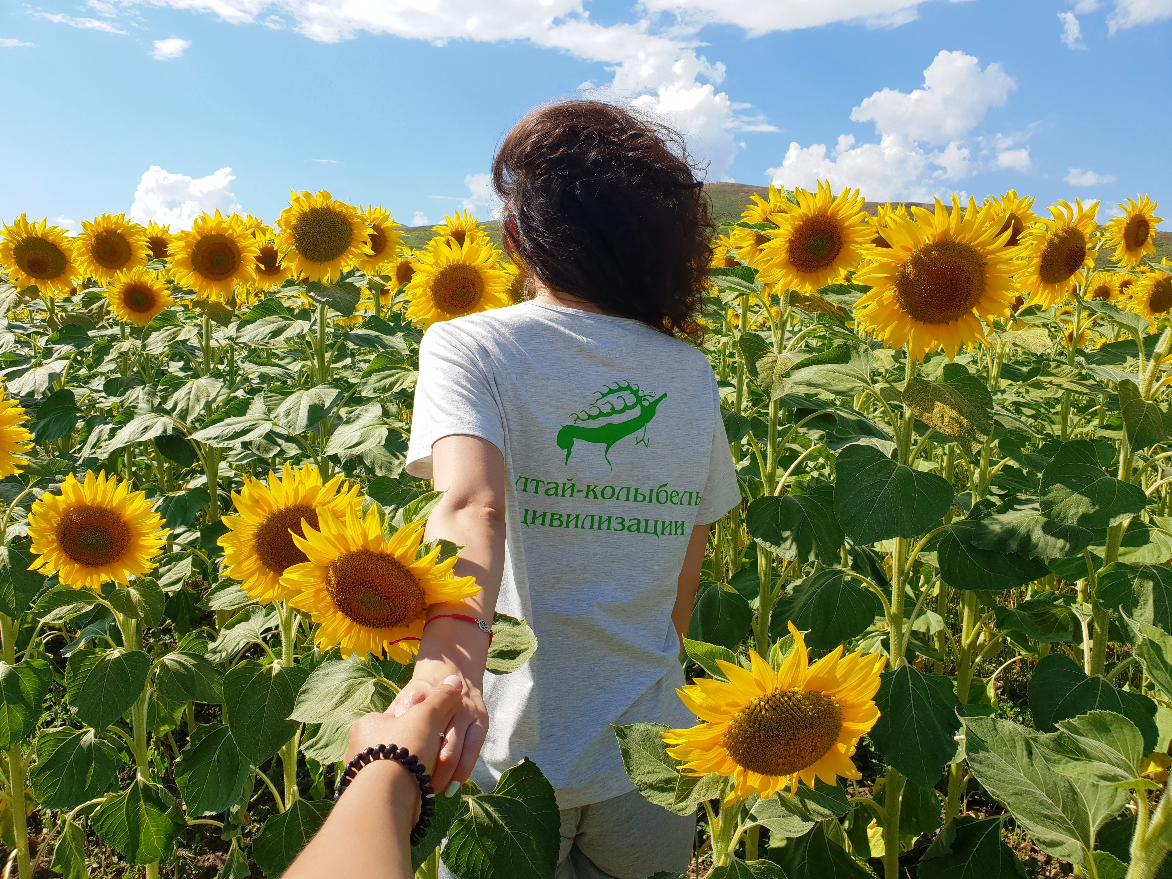
On August 17, the expedition on the route "Altai – the cradle of civilization" was completed, which was launched on August 5, 2018 in the city of Ust-Kamenogorsk. More than two thousand kilometers on not the most comfortable roads, but on one of the most beautiful places in Kazakhstan, the participants of the project "Uly Dala Eline Sayakhat"drove. The picturesque corners of East Kazakhstan, full of soothing beauty, pleased and gave pleasure to the participants of the project. The expedition includes foreign and Kazakh travel bloggers, television journalists and representatives of tour operators: photographer Photosafari.KZ Konstantin Kikvidze, the author of the article of the Russian magazine "Voyage" Veronika Ivanova, the Kazakh travel blogger Ekaterina Koshko, etc. The organizer of the project "Uly Dala Eline Sayakhat" is the National Company "Kazakh Tourism". The project is being implemented by order of the Committee of the Tourism Industry of the Ministry of Culture and Sports, as part of the celebration of the 20th anniversary of the capital of the Republic of Kazakhstan-the city of Astana.As previously reported, the expedition began with a visit to the Bukhtarma reservoir. The next day, the travelers went to the Katon-Karagai National Park. We visited the lake Yazevoye (Karakol), which is located at an altitude of 1685 m above sea level, in a fold along which one of the branches of the Katun glacier went. Further along the route – Rakhmanov keys, a distinctive feature of which is the presence of radon waters with useful properties. The next point on the route is the Berel Mounds. This is an archaeological monument-burial of the III-IV centuries, which has no analogues in Kazakhstan. Then the way of the expedition participants lay to one of the most beautiful lakes in Kazakhstan – Markakol, which is located in the Markakol State Nature Reserve. It is located at an altitude of 1447 m above sea level. The nature around the lake is fascinating at first glance. It is surrounded by dense forests, as the lake is located in a mountainous area. The shores of the lake are cut off by steep slopes, and in some places are covered with meadows. From there, the participants of the expedition went to admire the bright and bizarre landscapes of the Kiin Kerish tract, which are sometimes called "flaming cliffs", "The City of Spirits" or a piece of Mars on Earth. The bright and scorching sun and the complete absence of water create a fantastically picturesque and mystical atmosphere here. Rare and endangered species of animals and plants live in the Kiin Kerish tract. Behind the Martian landscapes of this place, the participants were waiting for no less interesting canyons on the shore of Lake Zaisan-Cape Shekelmes, a favorite place for photographers and just lovers of strange landscapes. While studying this amazing array, the participants met petroglyphs on stone cliffs here, plunged into the atmosphere of the enchanting aromas of the steppe and were able to admire the smooth surface of the transparent waters of Lake Zaisan. Another 450 km of the way and the travelers arrived at the valley of the Tarbagatai Mountains. The total length of these mountains with the greatest width of 55 m is about 300 km. The highest point of Tarbagatai is the peak of Tastau (2992 m). Numerous and small rivers flow from Tarbagatai to the neighboring valleys: Urjar, Alet, Terekty, Kyzykty and Tamyrsyk. To the east of these valleys are 5 small lakes. The route ended with a trip to Lake Alakol. This lake is the second largest among the internal reservoirs of Kazakhstan and the only deep-water among the drainless lakes of the country. East Kazakhstan is famous for its honey. While on Yasnaya Polyana in the Bukhtarma reservoir, the participants of the route visited a local apiary and tried different varieties of local honey. They also underwent a special wellness procedure on bee beds. A person on them is being treated during sleep. According to the stories of the owner, bees are amazing creatures that control everything. This procedure is in demand among people who come here from different parts of Kazakhstan. General Director of the Katon-Karagay National Park Salimbekov Zhanbolat Batalovich told the participants of the expedition about the most interesting and popular places among tourists: "The area of the National Park is 643,477 hectares. Of which 40 % is covered with forests, the rest is formed by plains, mountains, rock formations, waterfalls, rivers and lakes. One of our main activities is the protection and protection of the animal world. But we also try to attract tourists to our park, develop the infrastructure. To date, there are 13 routes in the park. The most popular destinations among tourists are Yazevoe Lake, Belukha Mountain, Kok-Kola Waterfall." Following the results of the expedition, a special program on visiting tourist sites will be launched on the Kazakh TV channel. The official media partner of the expedition is the Khabar Agency. For reference: The following expedition routes will stretch through the following areas: * Akmola, Pavlodar, Karaganda, Kostanay regions – Sary-Arka; •Kyzylorda, Aktobe, Mangystau regions - From sea to sea • * Turkestan, Zhambyl, Almaty regions – The New Silk Road.
Contacts
Adress:
Astana city, Mangilik avenue 55/14
Our mail:
info@qaztourism.kz